ZenaTech signs nearly US$1M in solar-survey contracts for US utility
Management estimates up to US$2.5 million in additional survey work over two years, subject to successful delivery and further awards.
 Julian Okafor
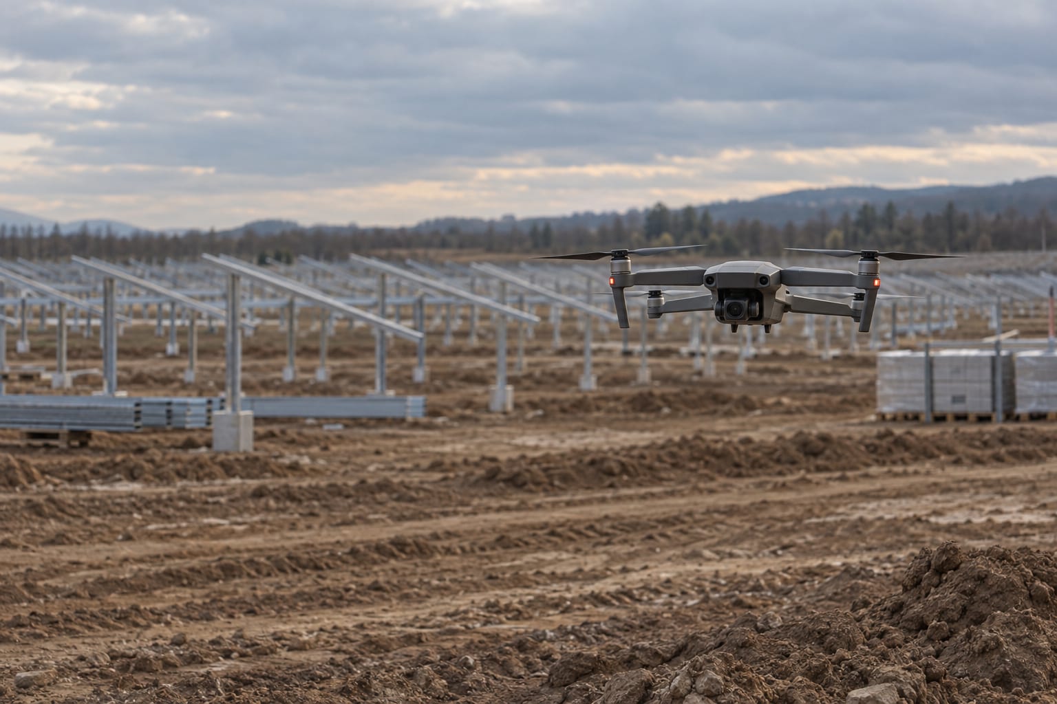
A utility’s solar-construction surveys have produced signed work, while a larger follow-on revenue estimate still depends on winning more contracts. ZenaTech, Inc. NASDAQZENA FRA49Q, a Vancouver technology company acquiring surveying businesses to deliver drone-based services, announced nearly US$1 million in contracts on Nov. 4.
The Nov. 4 awards cover topographic surveys for an unnamed U.S. utility’s solar infrastructure construction project. Management estimates up to US$2.5 million in additional surveying revenue over the next two years, contingent on customer requirements, project schedules, successful delivery and further awards.
ZenaTech shares closed at US$0.75 on Nasdaq on Nov. 3 at 4:00 p.m. EST, according to NASDAQZENA. That close predates the contract announcement, so it provides a reference price rather than a market response to the new work.
The signed amount is contract value, with no billing schedule or quarterly revenue contribution disclosed in the announcement. Drone-based inspection and maintenance after construction represent a separate opportunity, excluded from management’s additional surveying revenue estimate.
Follow-On Survey Work Still Requires Awards
ZenaTech describes the assignments as supporting an expected multiyear, multibillion-dollar electrical-grid upgrade. The utility’s identity and the project’s location are undisclosed, so the announcement provides ZenaTech’s account without an identified customer statement against which to check the wider construction program.
Other customer opportunities remain under negotiation across the company’s Drone as a Service network. The Nov. 4 release explicitly says those discussions have not produced awards and offers no assurance that agreements will follow.
The new work arrives at a business already dependent on surveying services. In its Sept. 29 financial release, ZenaTech reported second-quarter revenue of C$9.3 million, with the drone-services segment contributing C$8.6 million. Total revenue for the first half reached C$17.7 million.
ZenaTech subsequently estimated third-quarter revenue at US$9.5 million to US$10.5 million on Oct. 13. The figures were preliminary and unaudited; the nearly US$1 million solar-survey award is therefore meaningful against that quarterly sales scale, although its undisclosed delivery schedule prevents a quarterly comparison.
The Oct. 29 update said the latest two acquisitions brought the acquisition count to 31 and added four Australian locations. Those businesses bring surveying and engineering teams that ZenaTech expects to adopt its developing technology.
The Oct. 13 release also reported average organic revenue growth of 27.1 per cent for 2026 across approximately 20 primarily U.S. locations. Those locations were acquired in 2025; the measure excluded acquisitions completed in 2026, distinguishing growth within existing businesses from revenue added by buying more surveying firms.
A similar distinction between orders and subsequent income appeared in Mugglehead’s Nov. 3 coverage of a clinical-data expansion. OneMedNet Corporation NASDAQONMD, a supplier of de-identified medical imaging and clinical records, reported a high-six-figure add-on order while retaining separate potential for future sublicensing revenue.
Read more: OneMedNet receives high-six-figure add-on order for clinical AI data
AI Savings Await Network Testing
ZenaTech’s proposed margin improvement depends on changing how its acquired firms perform fieldwork and process data. The Nov. 4 release targets profit margins of 40 to 60 per cent, compared with approximately 20 per cent at acquisition, without specifying whether the measure is gross, operating or net.
“By integrating drones and proprietary AI processing, we aim to deliver surveys faster, complete more projects with existing teams reducing field and office work,” ZenaTech chief executive Shaun Passley said in the release.
The company’s Oct. 29 workflow update compared internal estimates for a representative 100-acre topographic survey. It estimated approximately 267 hours of conventional fieldwork against approximately 65 hours using drone capture. Those are company estimates, with actual results varying by site conditions, vegetation, accuracy requirements and deliverables.
Surveyors still establish ground-control points and verify accuracy with ground-based equipment. ZenaTech says its software is designed to classify drone-generated measurements into terrain, vegetation, buildings and utility lines, then extract features for survey deliverables.
Writing about geospatial AI generally in a February professional-journal article, Qassim Abdullah, Woolpert’s vice-president and chief scientist, cautioned that accuracy depends on sensor quality, ground control, training-data bias and environmental complexity. He said trained professionals remain necessary and AI-generated deliverables must still meet mapping standards.
ZenaTech’s Oct. 29 update said documented case studies were being prepared and verified results would be reported as completed. Its next stated technical test is formal testing of the AI software across the services network in 2027; the Nov. 4 announcement gives no narrower start date or delivery deadline for the utility surveys.