
Arctic Fox Minerals (CSE:FOXY) finished its LiDar study and is presently awaiting the data for its Uptown Gold Project flagship property outside of Yellowknife, Northwest Territories.
The company contracted Sub Arctic Geomatics in August of 2021 to run multi-hectare LiDar airborne and ground geophysical surveys on claims K15962 and K15963. But after reviewing its Uptown Gold Project, the company concluded that claims K15962, K15963, K15964, and K15965 likely have the best potential for high grade drilling results.
“By identifying the specifics from our LiDAR survey on these claims we are extremely optimistic that the results will clearly identify the next steps of our business plan,” said Rob Geitl, CEO of Arctic Fox.
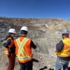
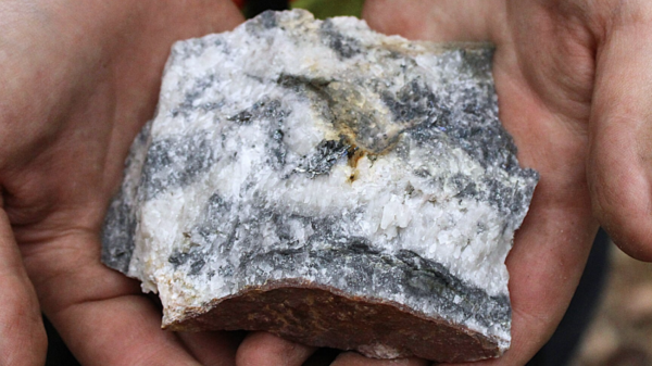
Arctic Fox is a precious metals explorer looking for gold in the Uptown Gold Project. The project sports potential high grade gold that is a high grade Archean lode gold prospect close to the Giant Mine in Yellowknife, Northwest Territories. The property encompasses four claims covering over 2,000 hectares and borders the west side of the Giant Mine leases.

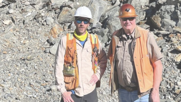
Uptown Gold Mining Property/Image via Arctic Fox Minerals
The property has year-round accessibility courtesy of the Ingraham Trail (Territorial Highway 4) which connects to the eastern portion of the claims. Gold discoveries began in 1960, leading to two exploration targets in 1963 and 1966 respectively. Subsequently, companies introduced small-scale high grade mining at the Rod Vein in 1979.
Read more: NevGold’s oxide gold drill program in Nevada finds positive results
Read more: Goldflare hungry for gold on Condor property
Arctic Fox uses LiDar to help find the gold
LiDar is an acronym of ‘light detection and ranging’ or laser imaging, detection and ranging. Companies use LiDar to make high resolution maps, but it has applications in multiple different fields. These include surveying, geomatics, geography, geology, and more.
LiDar determines variable distances by targeting an object or a surface with a laser and measuring the time for the reflected light to return to the receiver. Also, it’s used to make digital 3D representations of the Earth’s surface and ocean bottom by varying the wavelength of light. It’s a technology that’s had both terrestrial, airborne and mobile applications.
In this case, the LiDar survey identified subtle topographic features like river terraces and river channel banks and glacial landforms. It also measured the land-surface elevation beneath the vegetation canopy to better resolve spatial differences in elevation. It also helped detect elevation changes between repeated surveys. This also helped inform studies of the physical and chemical processes that shape the landscape of the project.
The survey also assisted the company in identifying structure geology and geophysics anomalies so it could both detect and study potential faults.
Follow Joseph Morton on Twitter
joseph@mugglehead.com